Rhodopes
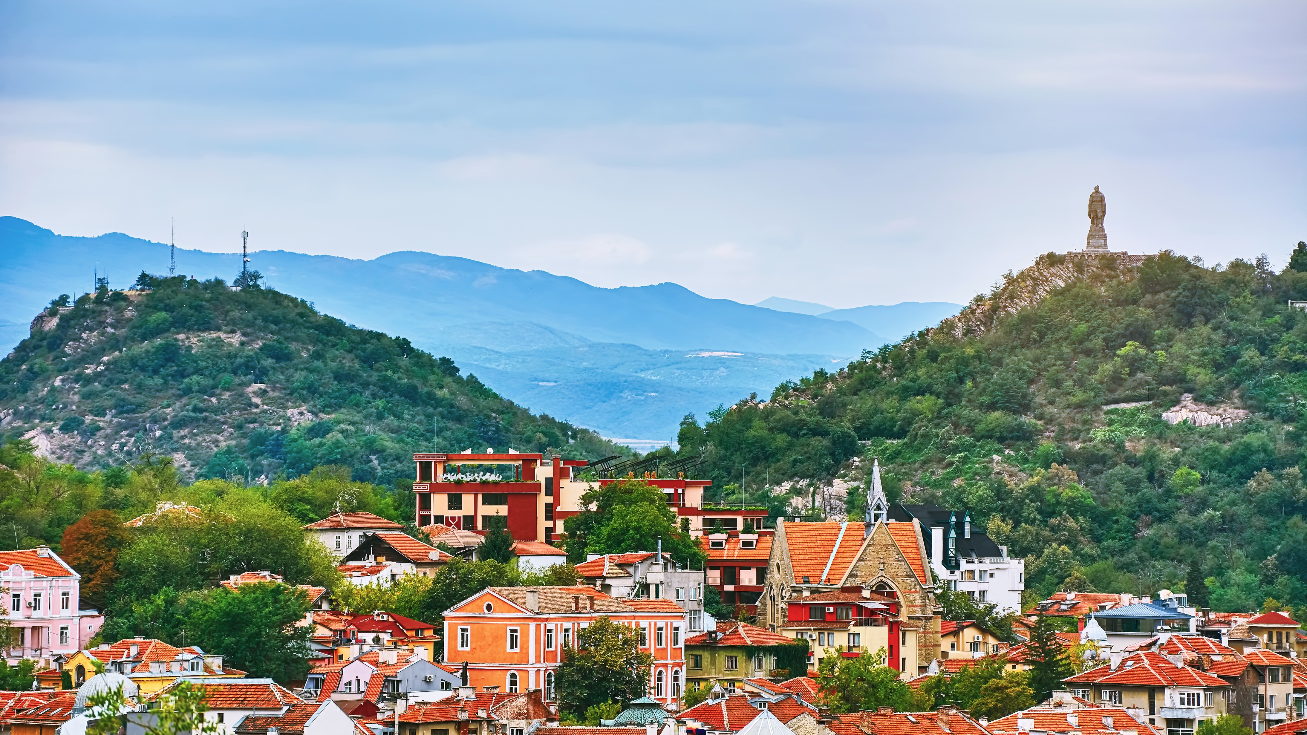
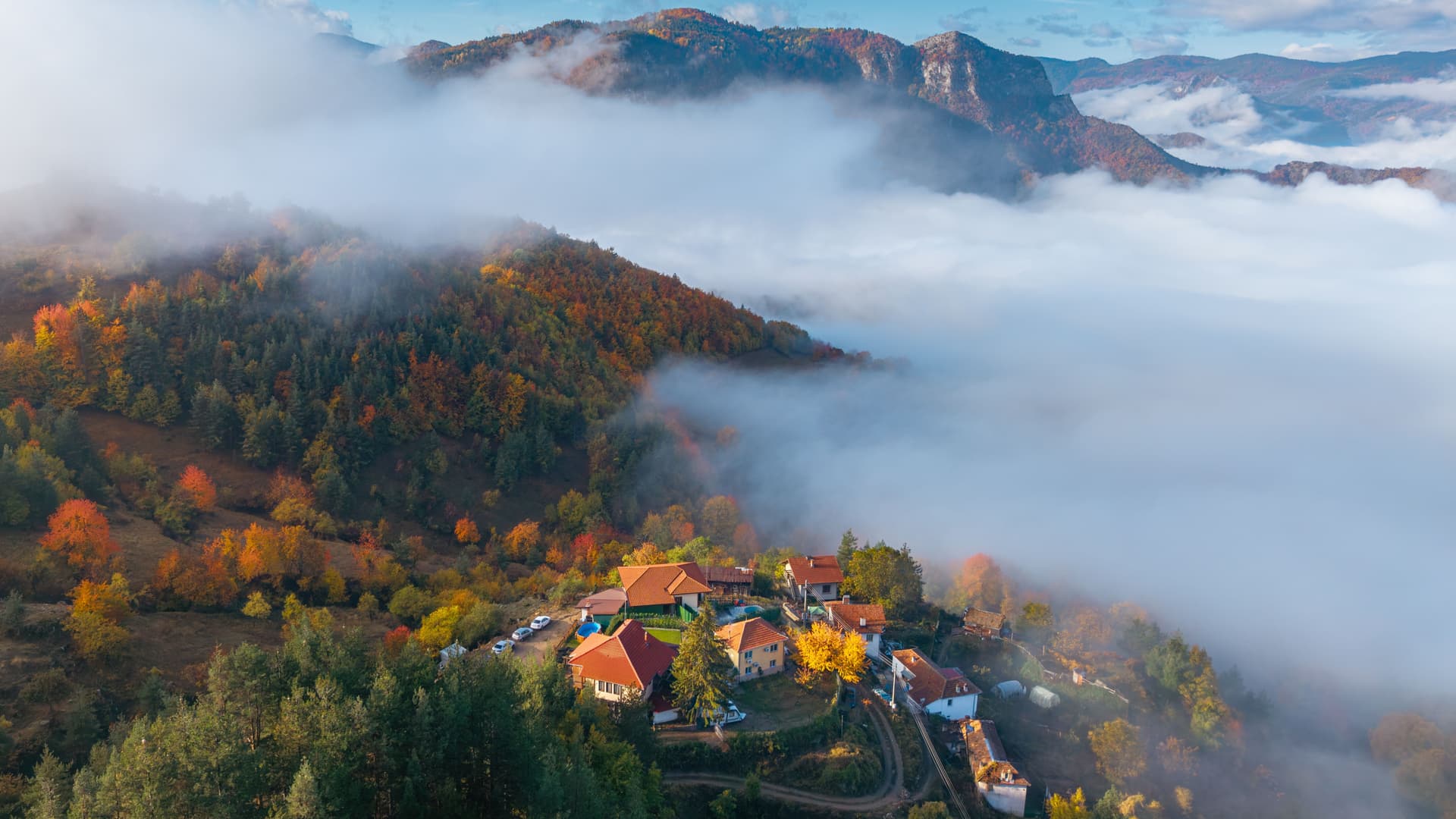
Massif of Orpheus on the Greek border, the Rhodopes blend stone villages from the National Revival, the karst gorges of Trigrad and Pomak culture around Devin.
The Rhodopes form Bulgaria's most extensive mountain range, stretching 240 kilometres from east to west along the Greek border. Our team always distinguishes two distinct areas for travellers: the Western Rhodopes, higher peaks (summits around 2,000 metres, with Goliam Perelik reaching 2,191 m), blanketed in spruce forests and carved by karst gorges; the Eastern Rhodopes, lower and drier, opening onto Thracian sanctuaries and the Maritsa plain.
Greek mythology places the homeland of Orpheus here. Beyond legend, the region holds notable archaeological density: the rock sanctuary of Perperikon near Kardjali, the Thracian tomb of Tatul, Byzantine fortress remains at Asenovgrad. Stone villages built in the 18th and 19th centuries—the period known as the Bulgarian National Revival—testify to prosperity rooted in transhumant herding and wool trade. Shiroka Laka, Kovachevitsa and Leshten line their streets with corbelled houses, slate roofs and small-paned windows.
The massif's human distinctiveness lies in the coexistence of three populations: Orthodox Bulgarians, Pomaks (Bulgarian-speaking Muslims converted under Ottoman rule) predominant around Devin, Dospat and Smolyan, and Turks of the Eastern Rhodopes toward Kardjali. This mosaic reads in village architecture, minarets punctuating the valleys, and cuisine: patatnik (grated potato and cheese galette), klin (puff pastry pie), lamb with yogurt, aged sheep cheese from Smilyan, and Smilyan beans inscribed in Bulgarian agricultural heritage.
Geography dictates the travel rhythm. Roads follow the valleys of the Vacha, Chepelarska and Arda rivers, winding through hairpin turns and crossing passes at 1,600 metres. Allow 3 hours for 100 kilometres between Plovdiv and Smolyan, longer if you detour to Trigrad or Yagodina. Devil's Gorge at Trigrad, where the Trigradska River disappears underground through a cavity 42 metres high, illustrates the massif's karst character: over 250 recorded caves, including Yagodina open to the public for 1,100 metres.
The economy remains focused on herding, foraging (mushrooms, bilberries, medicinal plants) and low-key mountain tourism. Pamporovo, a ski resort at 1,650 metres, operates from December to March across 37 kilometres of slopes. In summer, Smolyan's seven glacial lakes, tiered between 1,450 and 1,500 metres, connect via an 8-kilometre trail accessible to regular hikers. Further east, Dospat Dam and Kardjali Lake offer drier landscapes suited to birdwatching (griffon vultures in Madzharovo Reserve).
Festivals punctuate the year. The Gela bagpipe festival in August draws nearly a hundred players of gaida kaba, an instrument native to the Rhodopes with a deep tone. On 6 May, Saint George's Day, marks the departure of herds to summer pasture. In Shiroka Laka, the koukeri carnival in early March features masked dancers covered in bells, a legacy of pre-Christian rites meant to chase away winter.
Highlights
Devil's Gorge at Trigrad. A river enters the mountain through a 42-metre waterfall and emerges 530 metres downstream. The guided tour descends through a tunnel carved in 1961; you ascend by 300 steps through damp rock.
Shiroka Laka village. A listed National Revival hamlet at 1,050 metres with a renowned folk music school for bagpipe, stone and timber houses aligned along the Shirokolashka river.
Seven glacial lakes of Smolyan. An 8-kilometre loop between 1,450 and 1,500 metres altitude, accessible from June to October, crossing bilberry meadows and Macedonian pine forests.
Pomak culture around Devin. Bulgarian-speaking Muslim villages where you can take thermal waters (Devin, Beden) and enjoy cuisine blending lamb, yogurt and puff pastries served in family guesthouses.
Thracian sanctuary of Perperikon. A rock-hewn city carved above Kardjali, occupied from the 5th millennium BCE through the Middle Ages, identified by some archaeologists with the Dionysus sanctuary consulted by Alexander the Great.
When to visit
Our recommended window runs from June to October. June and early July offer flowering meadows and temperatures of 18 to 24 °C during the day in Smolyan, cool at night (10 to 12 °C at 1,000 metres). July and August reach 26–28 °C in the valleys, remaining comfortable at altitude, making it peak season for hiking. September and October bring beech forest colours and fewer crowds; pack a fleece from mid-September for evening wear.
From December to March, Pamporovo operates as a ski resort with regular snow above 1,500 metres. Secondary roads to Trigrad or Yagodina then require winter tyres and may close intermittently. November and April are months we avoid: frequent rain, persistent fog in the valleys, and many museums and guesthouses close between the end of ski season and the return of hikers.
Practical advice
We recommend 3 to 4 days minimum for the Western Rhodopes (Smolyan, Trigrad, Shiroka Laka, Devin), 5 to 6 days if you want to add Kardjali and Perperikon to the east. Distances deceive on the map: always plan for an average of 35 to 40 km/h on mountain roads. Access is from Plovdiv (1.5 hours to Bachkovo, 2.5 hours to Smolyan) or Sofia (3.5 to 4 hours). No airport serves the massif; a vehicle with driver is our most common arrangement.
The most natural combination is Plovdiv and the Valley of Roses, then the Rhodopes via the Rojen pass, in an 8 to 10-day loop. Travellers with 15 days often continue to Sofia and Rila to the west, or descend into northern Greece via the Zlatograd border crossing. Comfort relies on renovated family guesthouses in stone villages, plus a few superior hotels in Smolyan and Pamporovo. The region suits regular hikers, contemplatives, vernacular architecture enthusiasts and mountain cuisine lovers. For families with young children, we tailor the itinerary around Smolyan and Shiroka Laka to minimise driving hours.